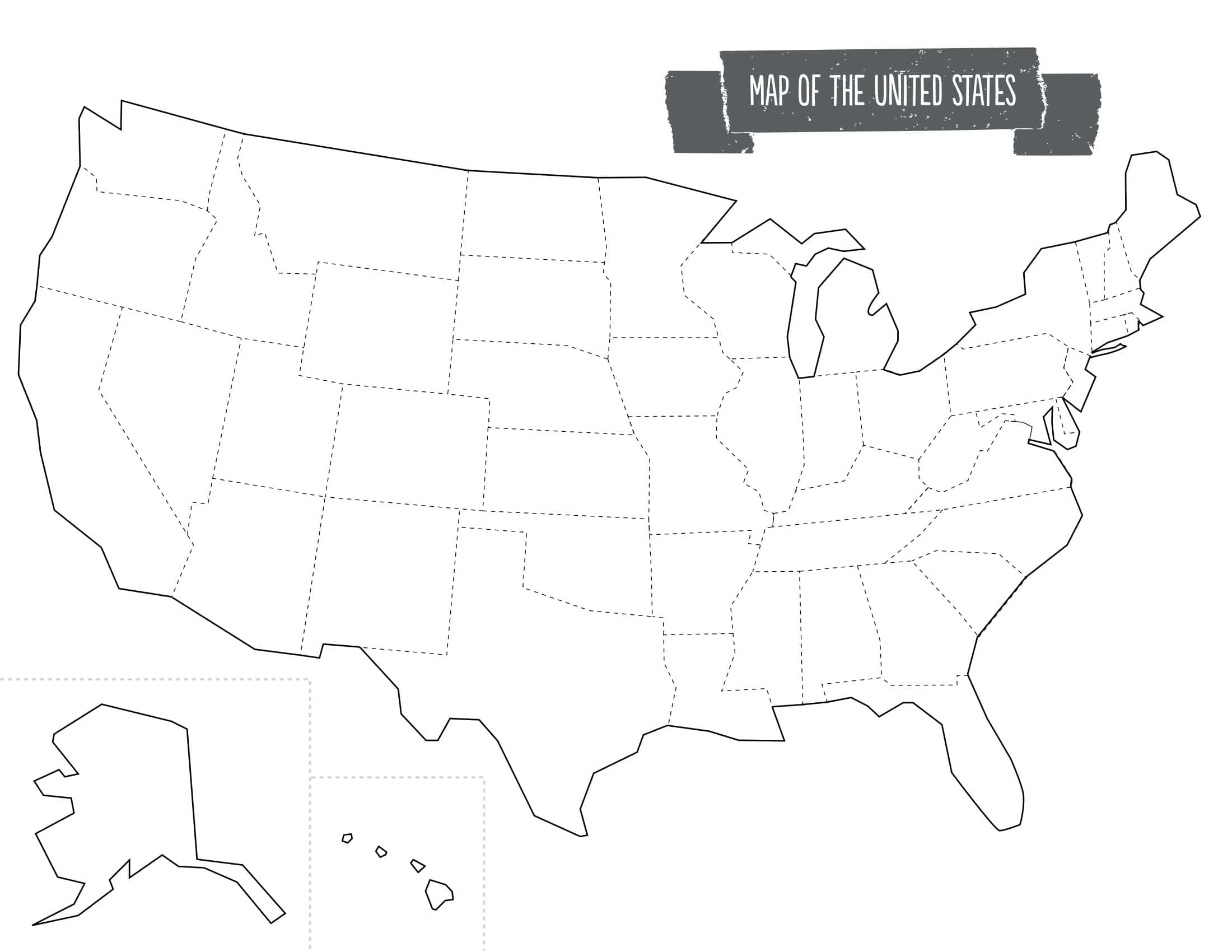
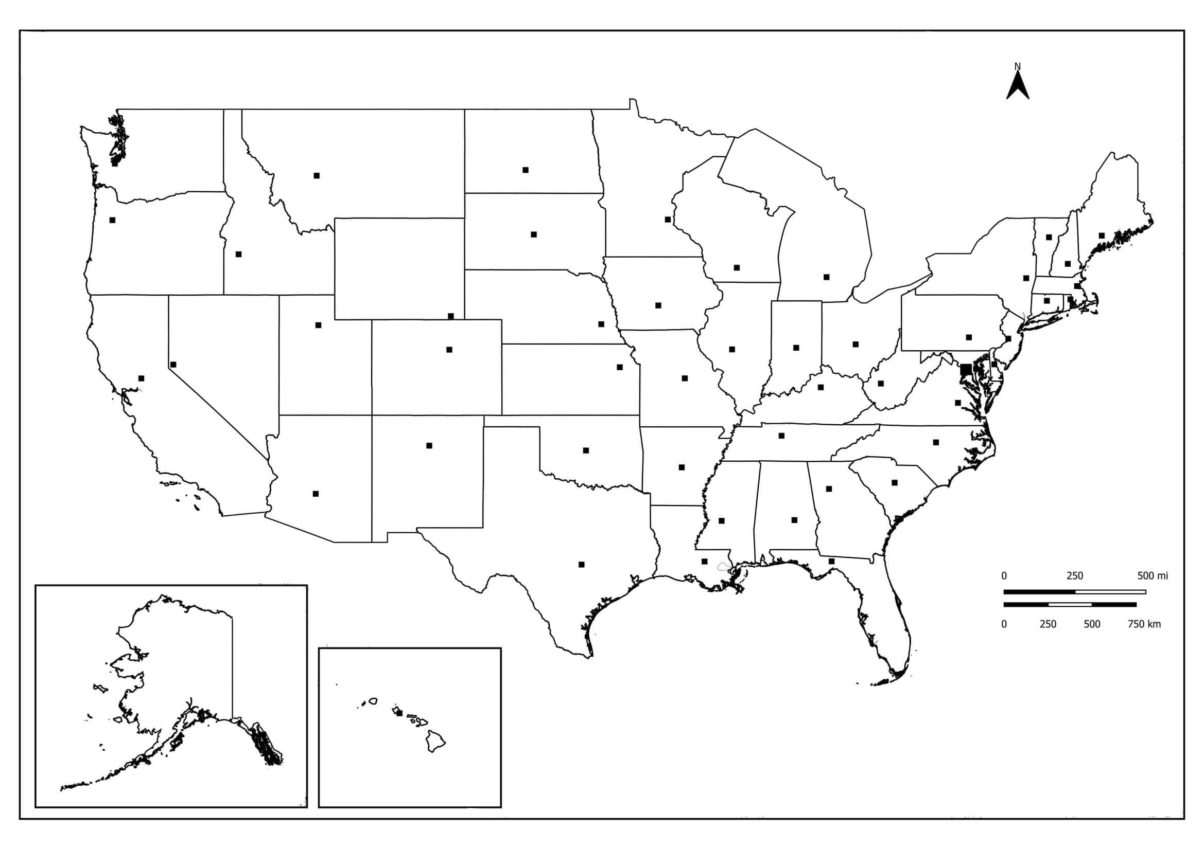
The main problem when you need a U.S. map for a classroom, project, or analysis report is almost always the same. The “free” printable blank map you find is either low-resolution, watermarked, or it places Alaska and Hawaii in inset boxes that break the scale and disrupt visual balance.

The geography teacher wants a simple outline map for students to color the states, while the data analyst needs vector layers to color-code population data. A homeschool parent needs a numbered map that lets a child learn state abbreviations directly, while a marketing team wants a clean backdrop to present sales regions, U.S. Census regions, and divisions with a consistent color palette.
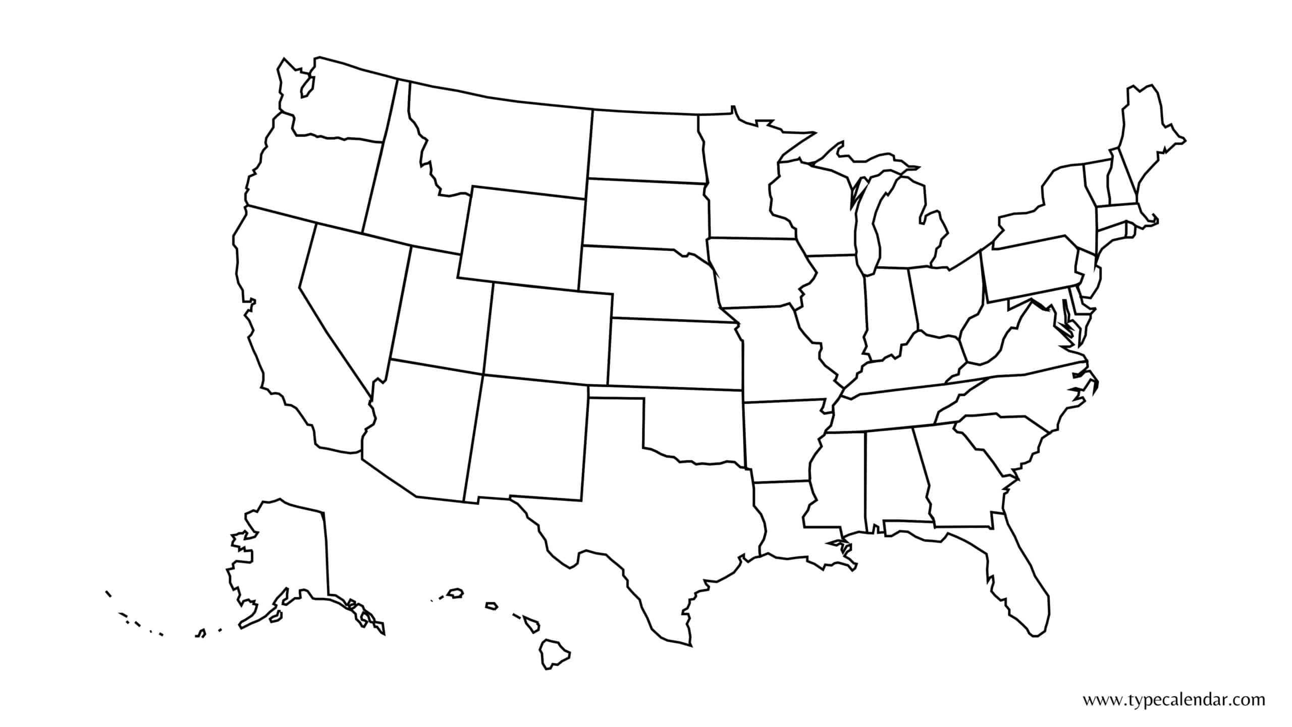
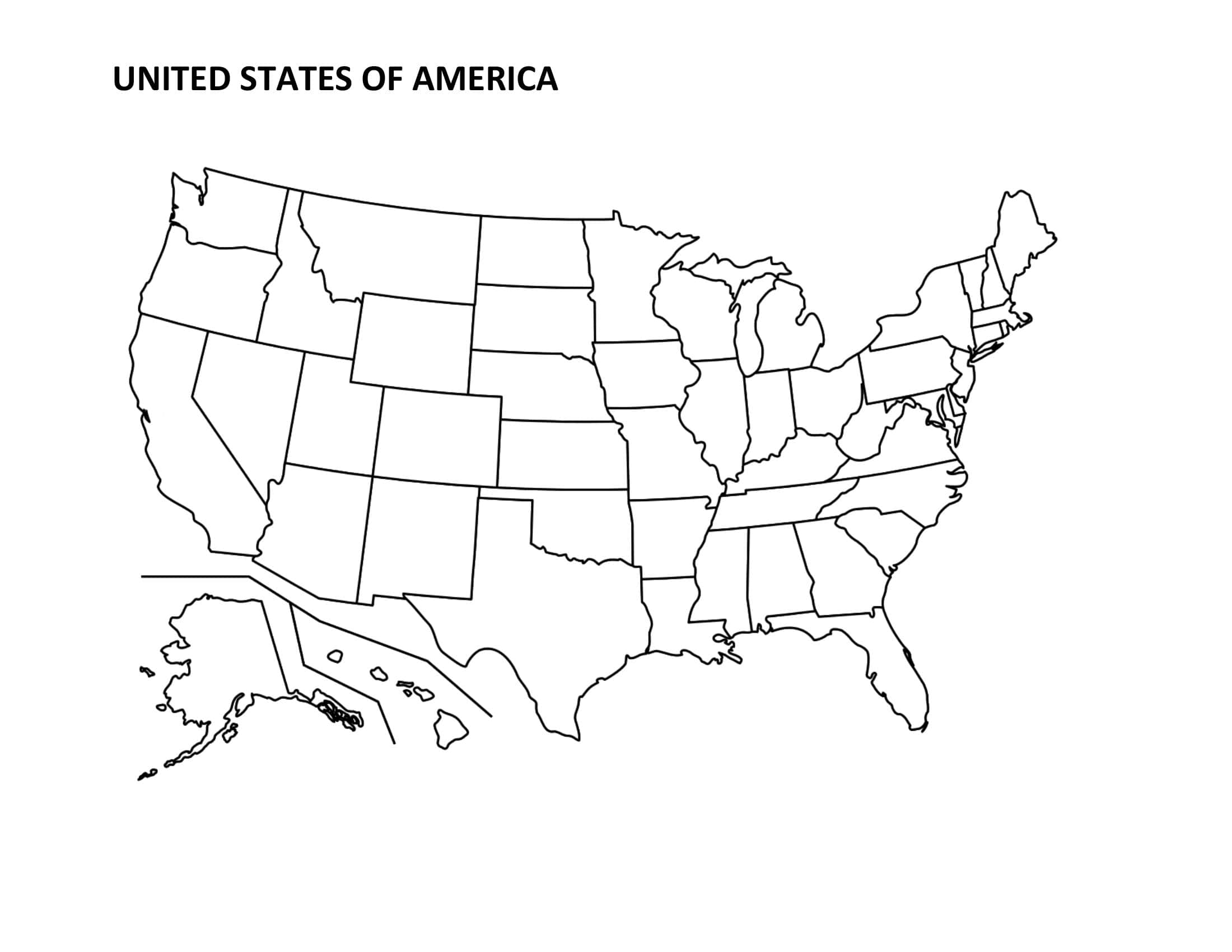
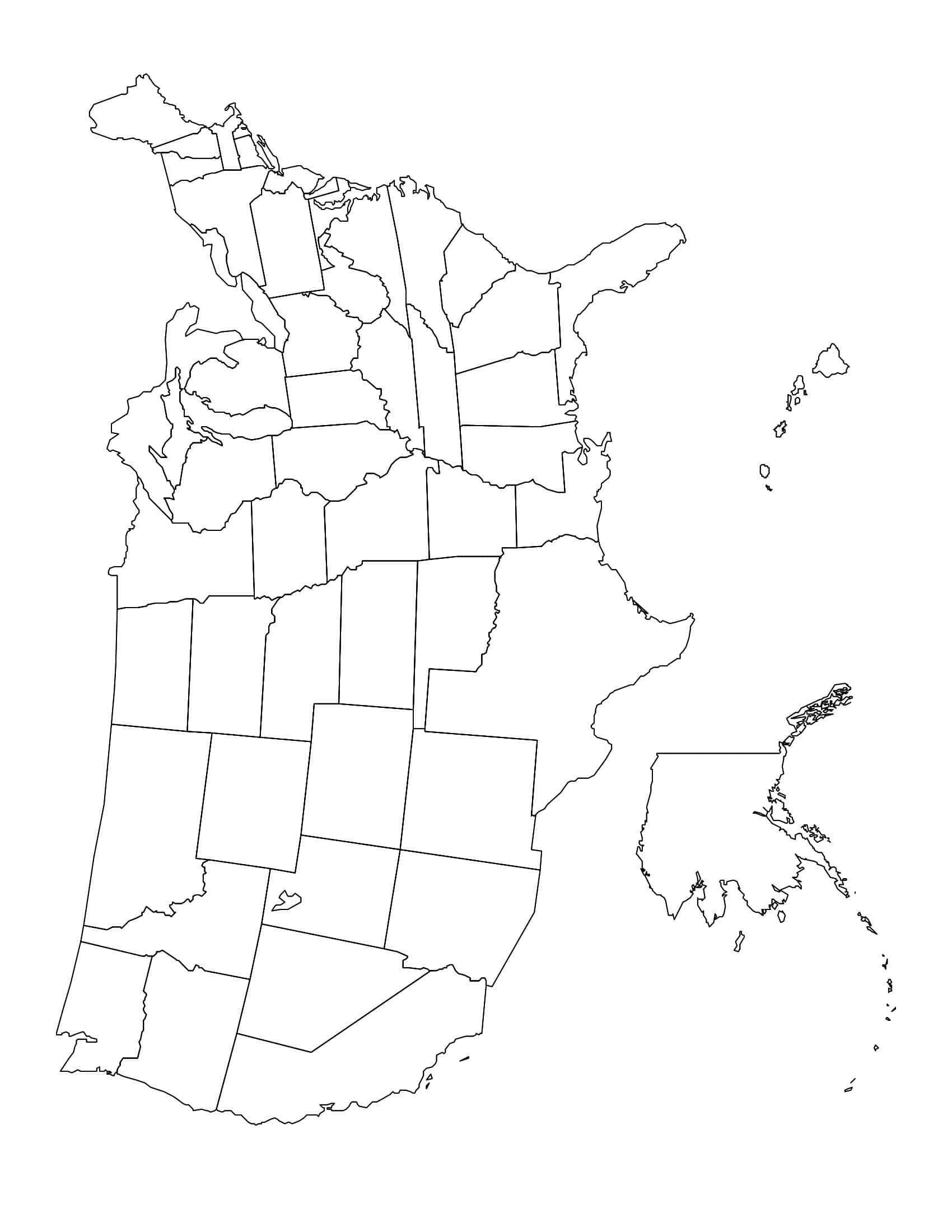
Because one “single downloadable file” can’t satisfy every use case, we created 40+ distinct U.S. Map Template / Free Blank United States Map variants on TypeCalendar. Each version is free, watermark-free, and purpose-built to solve a specific pain point.
Table of Contents
Printable Blank US Templates
What Sets Our U.S. Map Templates Apart
- Consistent Print Sets. Each map includes separate high-quality PDFs in A4, U.S. Letter, and (where needed) Tabloid sizes, letting you print in color or black-and-white without scale distortion.
- Multiple Formats. We offer printable U.S. blank map files in PDF (high-resolution), Word (layered editable text), PNG (transparent), and SVG (full vector) formats. Students can add text directly in Word, and designers or teachers can open the SVG in Illustrator, Inkscape, or Canva to apply color codes.
- Pre-Filled Areas for Color Coding. Some versions leave the states in a light 10% gray fill, providing balanced contrast for later crayon, highlighter, or digital recoloring.
- Readable Typography. In state-labeled variants, longer names that can break naturally into two lines (e.g., North Carolina) use automatic line breaks. External callout labels with short leader lines identify smaller states (RI, DE, CT).
- Watermark-Free & Free to Use. Your presentation slide, quiz, worksheet, travel route plan, or sales region map will not display a “TypeCalendar” mark on printouts (you can add branding in the title if you prefer).
Example Use Cases
Class Activity. Print the “Numbered Blank States” map, then have students write the state name that matches each number.
Sales and Marketing. Add region codes (e.g., Territory A/B/C) to the Regions and Divisions map using text boxes in the Word version.
Travel Plan. Mark the planned route in yellow on the Travel Route Planner and the actual route in blue. Enter the date and mileage in the note boxes at the bottom.
Data Presentation. In the SVG file (e.g., in Figma), apply a green-to-red color scale based on sales performance and export it as a PNG.
Coloring for Kids. In the Coloring Map version, give each state a different pastel color. When finished, hang the completed map on the classroom board.
Download the Free U.S. Map Template Collection
Instead of wasting time searching online for a “free blank United States map,” go straight to the variant designed for your purpose, boosting productivity and supporting your learning or presentation goals without sacrificing visual quality. TypeCalendar’s 40+ U.S. map templates span education, analytics, marketing, and personal projects all in one place, free of charge, watermark-free, and available in multiple formats. Choose the version that best fits your needs, download it, and transform a raw map into a meaningful tool in minutes. Then finish it with your own creativity.












![%100 Free Hoodie Templates [Printable] +PDF 1 Hoodie Template](https://www.typecalendar.com/wp-content/uploads/2023/05/Hoodie-Template-1-150x150.jpg)
![Free Printable Food Diary Templates [Word, Excel, PDF] 2 Food Diary](https://www.typecalendar.com/wp-content/uploads/2023/05/Food-Diary-1-150x150.jpg 150w, https://www.typecalendar.com/wp-content/uploads/2023/05/Food-Diary-1-1200x1200.jpg 1200w)
![Free Printable Roommate Agreement Templates [Word, PDF] 3 Roommate Agreement](https://www.typecalendar.com/wp-content/uploads/2023/06/Roommate-Agreement-150x150.jpg)
